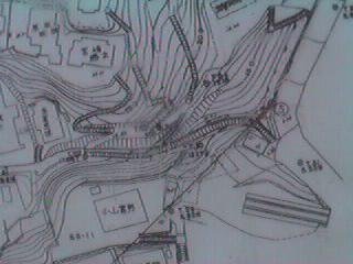
As for the extension to Kurihama, the extension from Uraga was planned. However, it changed to a route now by way of the inland because the steep slope land between Uraga and Kurihama approached the coast, and there were a lot of dangerous parts of the sudden fall of the slope, too.
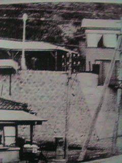
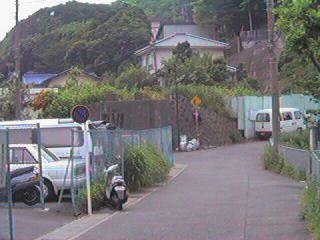
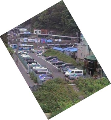
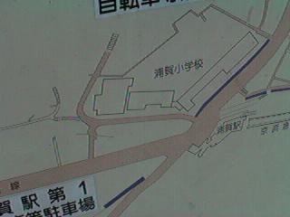
 The direction with the extension plan is wanted from Uraga Station. Uraga Station was elevated, and the plate girder bridge had hung to the road around the station before. It corresponded on the extension plan line of the parking lot in the photograph, it had been banked here before, and it was scheduled to be paved the railway track ..on that... The embankment remains in the other side of the parking lot.
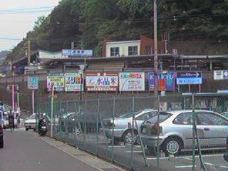
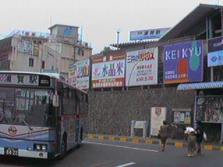 It looks up at Uraga Station. The Keikyu bus that connects Uraga Station with Kurihama Station in the coast circumference is stopping around the station.
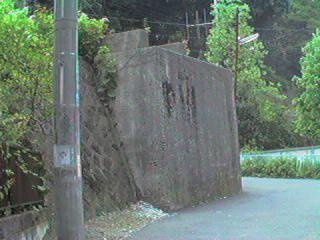
 It faces the remaining bridge stand.
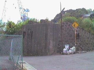 Bridge stand of single track width.
 It looks back on the Uraga Station district from the same place. The right hand had the embankment here in the parking lot.
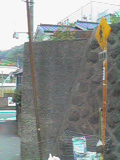 Pier type that there is only parapet Uketamawa in bridge stand.
 Pier type that there is only parapet Uketamawa in bridge stand.
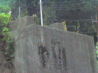 Pier type that there is only parapet Uketamawa in bridge stand.
 Uraga Station is wanted from the bridge stand.
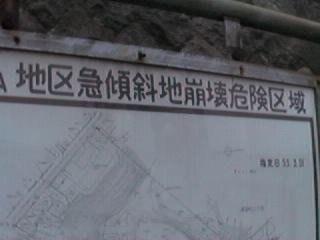 It hangs to the vicinity out the manual daily life whose here is a danger area.
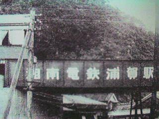
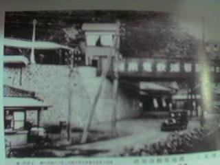 Uraga Station of Shonan electric railway age. The plate girder bridge hung to the road around the station.