 |
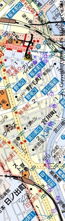
From seeing my pageA curve road interesting when the map in the vicinity of the Noge was seen: Wasn't a long and slender site (land that had been placed between two thin roads that penetrated through the center from between Miyakawa-cho 1 and 2 chome to the Noge 1 chome) where the slow curve was diagonally drawn between Hinodecho and Sakuragicho land that had been secured for the route for the Shonan electric railway report of Toyoko line?Though it is a complete guess. I got mail. It certainly cuts in the Ooka-gawa river when studying the map and the railway track that has run cuts the left this side of Hinodecho and the dogleg. Existence of thin land where width of elevated line where it is proven was kept facing to Sakuragicho Station straight willingly as it is originally natural. Then, this unfinished line decided to be named "Noge line" selfishly and to walk. The number of the text corresponds to the number in the map.
|
 2: The Koganecho district is wanted from Hinodecho to the Ooka-gawa river. The train turns round the dogleg and it ..banks of a river.. cruises.
 3: Curve of road from which elevated line deviated to the left. This example is work of imagining the railway structure that might be made from seeing the service road along a lot of "Disused line mark" that exists in the example or no "Unfinished line" it, and "Unfinished line". The map is for that, and it should be somewhere and there be accurate rapidity walking of me with the head. And, the railway structure that will be made will be vividly seen in the near future, and it is necessary to overlap with the building of the reality.
 4: The Sakuragicho district is wanted from millionaire bridge west Ts that the Yokohama Ekinegishi road intersects with the Ooka-gawa river. There is a road after it descends once.
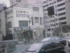 5: Site section along Yokohama Ekinegishi road. There is a bus stop in front of Hinodecho Station. "Mitsuwa grill" and the next building just correspond to the site mark. This width is 16 steps. It is unexpectedly narrow. It was 16 steps as which the elevated line of Keikyu under was the same.
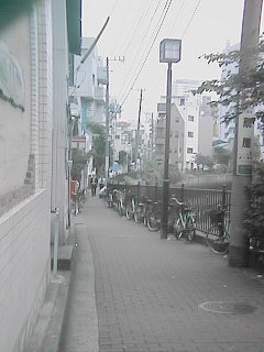
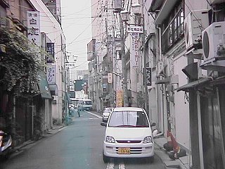
 6: Five difference road in the Miyakawa-cho is wanted and the Sakuragicho district is wanted. Because the site in this side is a parking lot, the building of the site section is understood well. A snack and next building is width of the site. Be able my do listen to of the story of this site to managing the craft company in this vicinity. It is said that the owner was Japanese National Railways though this site was used according to it to lay track certainly. I hear that it borrows from Japanese National Railways and the site was open of the company though it was what was since prewar days. It is said that the site was used as leased land not the vacant lot etc. enclosed with the hedge but where.
I hear that it was about at 1955 to be sold. I hear that the structure made of concrete whether what it is a tube or to pass communication line (?) was buried under this site beforehand to use it when laying track. A lot of various buildings such as the house, the drinking house, shops, and the back-street factories have been overcrowded in this vicinity now though there are some feelings in outskirts by the heartland of Yokohama.
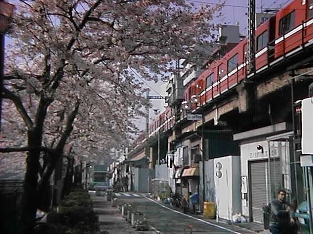
 7: The Noge town wants the Sakuragicho district. It is a big building in the front. Station building in Sakuragicho. It slowly curves to the left and the tangent arc to Sakuragicho Station is drawn.
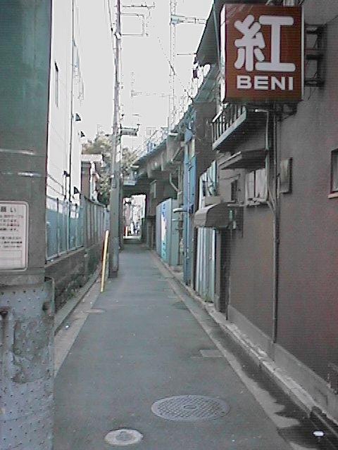
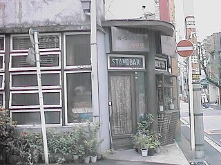 8: Bar in railway track site in Miyakawa-cho. The atmosphere of feeling of the 1955's remains as it is and it is good. It looks like the atmosphere of the place where I was born and grow up well and wherever you like around here in Yokohama. Eyes go to such a building inadvertently.
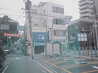
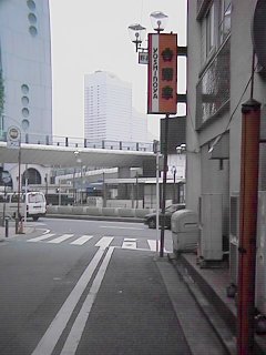
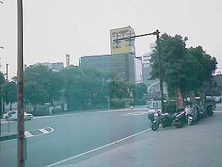
 9: The direction that comes off from the Noge town to No.16 in the national road is hoped for. When a slow curve is extended, it connects with Sakuragicho Station. No.16 was wide, and the vicinity of Sakuragicho Station accomplished making to a whale of an by the redevelopment. The mark cannot be seen previously in the future.
 10: Position that comes off to No.16 in national road. There is a signboard of Yoshinoya.
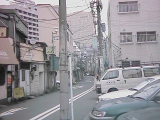
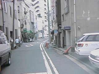 11: The Hinodecho district is wanted from the position that comes off to No.16 in the national road.
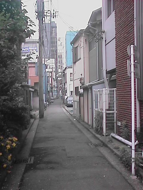
 The direction of 16 in the national road is wanted from the same position as 12:11. Quite different though it is the same position view.
(2002-06-14 making)